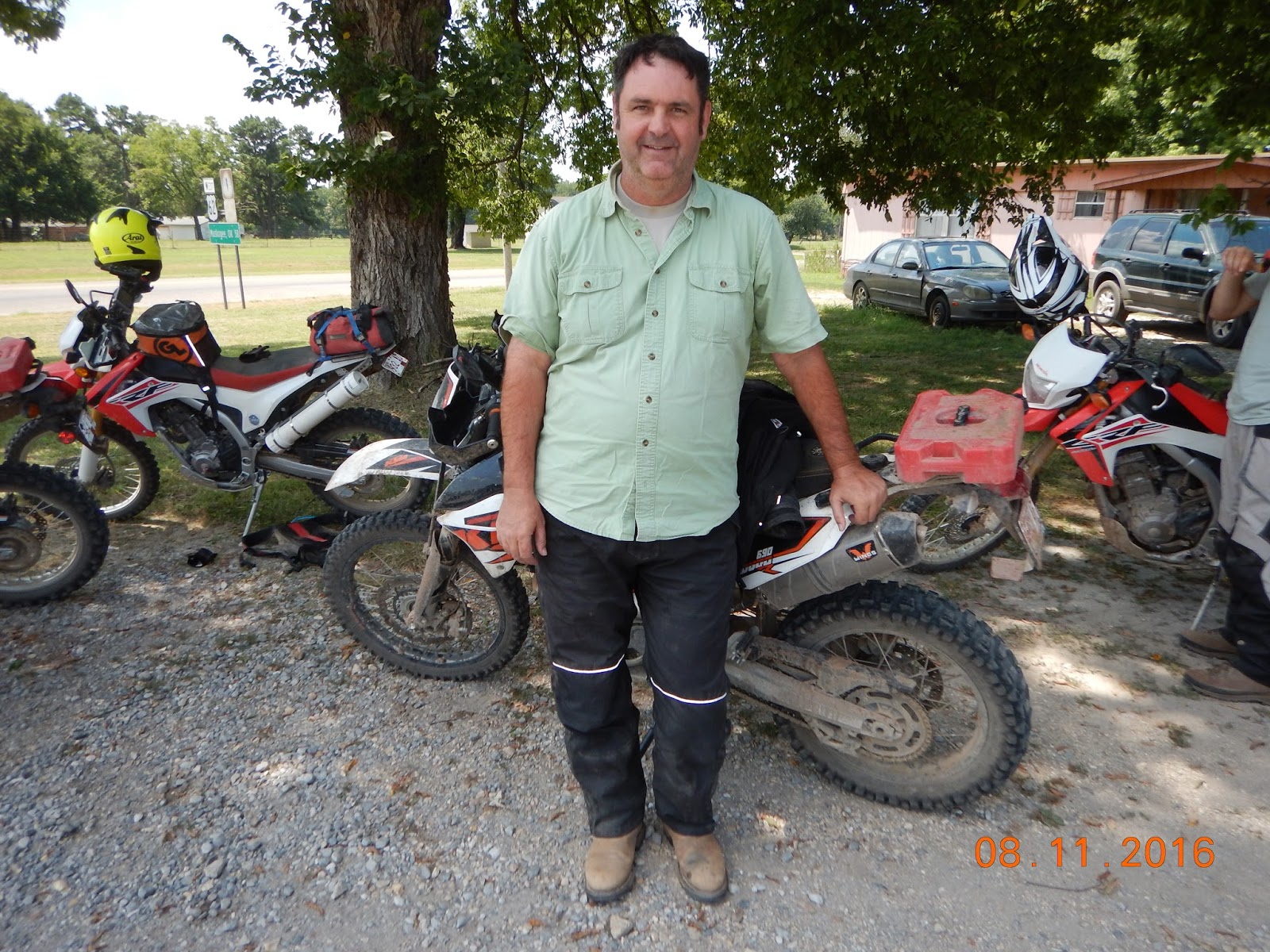
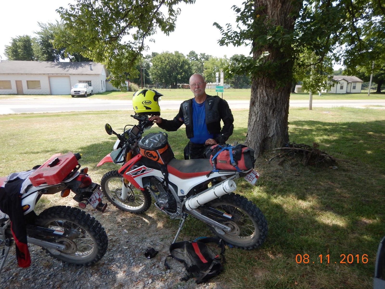
Friday, August 12, 2016

TAT-2016 Post 52 – Friday, 12 Aug 2016 TAT Summary

This brings to a close our TAT 2016 adventure. There is more of the TAT to do in the future but that will be a 2017 or maybe a 2018 adventure. I will use this post to summarize what we accomplished this last year and maybe provide some info that others can use to plan their TAT adventures.

It’s hard to believe it was only a year ago this month when I walked into our staff meeting at work and asked if anyone would like a real adventure by riding dirt bikes across the whole USA on the Trans-America Trail (TAT). Three guys eventually said yes and these same three just finished Leg-2 with me yesterday. You can find out all the details of our planning and rides in the previous 51 posts on my blog (you really must have a lot of time on your hands if you go back and read them all).

I’m one of those guys that love technical details so this post has a lot of spreadsheets, numbers and maps to document in one place all the data in those previous 51 posts so this may be all you need to read to get the key points.

We broke our TAT-2016 into several different chunks due to work commitments, available vacation days, snow in the mountains and general weather. We were extremely lucky that we never really had bad weather on any of our TAT rides although we did suffer the effects of rain in OK days before we rode those muddy roads. Therefore our experience on the different sections could be significantly different than others if they encountered rain, snow, etc.

There are several lessons learned that may be beneficial to those just starting to plan their trips (these apply to our group and does not mean others would have these problems:

1    Always scout mud holes if they cover the whole road. We almost always found firm ground along the sides in the grass.
2          Your average miles per day will be as low as 14 mph to 30 mph counting rest stops, fueling and problems. We had low mph out east and high mph out west. Our group had less riding experience out east so that may be the reason.
3          Fuel is always a problem. The TAT does not go through many large populated areas and many small towns do not have fuel and especially motels. Our bikes were limited to 100-135 mile range even by carrying 1 gal RotoPax.
4          If you motel then your daily ride will be based on availability of motels and not rider ability. I tried to find motels around 150 miles apart but that’s not always possible.
5          Miles per day – much over 150 miles the riders get tired and careless. This causes accidents or burns out the riders on multi-day rides.

There are many more but none come to me right now.

Leg-2

Leg-2 wrap up is provided below showing TAT miles and the local rides we did in CO the two days before starting the TAT route back to AR. I’ve provided maps for each days ride.


TAT LOG for TAT-2016 (Aug-15 through Aug-16)

We were lucky in that the TAT went right past our town and that we were in the middle of the sections we wanted to ride this year. It won’t be as easy for Leg-3 (maybe 4, may break it down into 2 sections) from CO to OR.


As can see in the TAT log we have ridden almost 3,000 miles this year from the Atlantic Ocean at Charleston, SC to Lake City, CO. If you count Engineer Pass, which is on the TAT, then it’s over 3,000 miles. What is amazing is that all 4 original riders are still hanging on plus several new additions on the last few stretches. This is even after many incidents that would have discouraged many other riders; i.e. accidents, bad roads, mud, dust, rocks, heat/cold and much more.

BTW the lime green track in MS was bypassed due to Wx but we will do it in the next couple of months.

TAT-2017/18 Plans (CO to OR)

I’ve done some advance planning but it is far from being firm. Based on the new SAM reroute (missing Nevada) it is around 2,600 miles through some of the most intense portions of the TAT. I’m 69 in a couple of months. The mind is willing but who knows how long the body will cooperate. I feel great now and the past Leg-2 was well within my ability. We’ll see what 2017 will bring.


Ride Safe

TAT-2016 Post 51 – Thursday, 11 Aug 2016 Leg-2 Day-6

Day-4 Statistics:
166 miles
5 hr 38 min
29 mph average
Bartlesville, OK to Summers, AR


Sorry I didn’t post this last night but once I got home I took a shower and relaxed the rest of the night. I’m writing this the next morning Friday, August 12.

This was our last day on the TAT for Leg-2. It was to be a 155-mile ride with no problems anticipated but if there is one thing you learn riding the TAT is that there are always problems.

We actually got started as planned around 7 am and made excellent progress the first 4 hours where we met up with Marty in the support truck at a place called Salina, OK. The heat index for today was forecasted to be 110-115 degrees so we wanted to get to the end ASAP to load the bikes and head home. With about 70 miles left to ride, Woodrow and I used the fuel in our RotoPax then topped off at the gas station next to our meeting spot; bad decision.

We pulled out of Salina and within a few miles were back on gravel on the TAT. In only a short distance we came to a sign saying “road closed”. No reason provided and no indication looking down the road what was happening. We stopped and discussed what to do. It was already getting hot and everyone was anxious to get to the end knowing we still had a long drive ahead after loading the bikes and gear into the truck. Normally we would have continued down the road to see if there were a way around but this time all agreed to try and bypass the road closure and get back on the TAT as soon as possible. Problem was there was no easy bypass.

We backtracked a few miles and got on the highway to work our way around and look for another road going towards the TAT. We came around a turn and once again was stopped due to road construction with a flagman holding up traffic. We are all setting on our bikes in 100+ heat with the engines off on very hot asphalt waiting for a pilot truck to lead us through the construction. It finally came after what seemed like a long time but was probably 10 minutes and we continued on our way.

Terry was in the lead and we went from highway to gravel roads to a very narrow 2 track through some dense forest looking for a way to get back on the TAT. We came to a spot where I could see on my topo GPS (Garmin 64ST) that there was no easy TAT access and it would take another 20 miles to get back on and then head towards the truck. I stated that Woodrow and I only had maybe 50 miles of gas left (empty RotoPax) and if we went direct to the truck on highways it would be 30 miles. We figured it would be much more to reach the TAT then ride it to the truck. Due to the heat, get homeitis and desire to reach the end we all, except Steve, agreed to head to the truck on highways.

Steve had always said he would continue on the TAT into Arkansas to Dover, AR because he had missed that section when Me, Jeff, Terry and Woodrow had accomplished it a month or so ago. He decided he would continue on to find the TAT and would leave the group at that point. I gave him my SPOT with extra batteries so he could be tracked and for emergency and he rode off in one direction and the rest of us backtracked to the highway and headed to the truck.

If you were following the SPOT track I provided you would see that he eventually went to Moody, OK to refuel then rode the TAT east to I-25, then north to the Fayetteville area where he got a motel for the night. He should be on the TAT now heading home via Dover, AR. One bad spot he has to ride is Warloop Road just east of I-25 around Ft Smith Lake. This is the hell road I wrote about in an earlier post but we rode it when it was wet, muddy and extremely rocky. Steve should find it dry but he is going uphill. Still a challenge due to the rocks.

The remaining 6 riders intercepted the TAT about 5 miles from the end and road into AR exactly where we had originally planned. When you look at the map, our track is the bold red where the TAT track is the lighter red line.

I will post a final summary of the Leg-2 later today along with total miles covered and other useless information. I’ve included some pictures of us loading the bikes plus individual riders. Sorry Jeff my son and Steve aren't in the pics and real sorry I didn’t get one of Marty the support truck driver.

The support truck made this a much more enjoyable ride. It allowed us to keep the bikes light and maneuverable. Marty did an outstanding job of meeting us at the planned hook-ups, provided fuel, cold drinks/snacks and even checked us all into the motel each night. We would get to the motel and he would already have the rooms ready and the Air Cond turned on high! I feel sorry for all those TAT riders doing it solo or unsupported but not enough to give it up.

You’ll notice in the pics below one guy always has to do it differently. That would be Woodrow backwards on the bike and wearing ugly socks. He’s the same guy who ran off the mountain in one incident and broke his leg in another incident on Leg-1. He has greatly improved because he rode some really tough stuff this time and did it like a pro.

More to follow in the TAT-2016 Leg-2 Final Post

One last thing. The 2½-hour truck ride from the end to Little Rock was almost worse than riding in 100+ heat. There were 6 of us in a truck made for 5 and all of us (except Marty) were sweating and extremely smelly. Several of us almost decided to unload the bikes and ride them to Little Rock except we didn’t have the strength to get all our gear out of the truck. We got to Terry’s around 5:30 pm, unloaded our gear and I rode my bike the last 12 miles to home wearing helmet, boots, shorts and a t-shirt. What a sight but I didn’t care.


Wednesday, August 10, 2016

TAT-2016 Post 50 – Wednesday, 10 Aug 2016 Leg-2 Day-5

Day-4 Statistics:
229 miles
9 hr 20 min
24 mph average
Alva, OK to Bartlesville, OK


As my Day-4 post stated, we expected this to be a boring, long day on dusty straight roads. It didn’t turn out that way at all. What should have been a 199 mile ride turned into a 229 mile ride with so much happening it’s hard to remember it all.

It  all started normally with a launch time set at 07 am. After we all fueled up it was 7:30. Our original plan was to ride together with Terry in the lead (head of the 4 team with Steve, Cutter & Ernie). Jeff, Woodrow and I (3 team) would bring up the rear. We started engines and I rode up next to Terry and he said go ahead we need to put air in Ernie’s front tire. That’s moment set the stage for what happened later. That’s also why I blame Terry.

3 team headed north out of Alva to reconnect with the TAT about 2 miles away. As we started down one of the first section line roads (8 miles from Alva) we hit the first mud hole that went totally across the road. We stopped and checked the high weeds on both sides and decided we could duck-walk the bikes through the weeds, which we did. A short time later we hit the second even bigger mud hole and again we stopped but this time did not scout. What a mistake. I said I thing I can go though one of the ruts and started duck-walking my bike into the muddy water. I almost made it when the front tire just slid out from under the bike. The bike and me immediately dropped into the mud on my right side. I’m lying in the mud and hollered to the other 2 guys to come help me get the bike off of me. They waded into the mud and we lifted the bike up, restarted it and tried to walk it out of the mud. No luck. The back tire was in one rut and the front tire was in another rut and no matter how much pushing and throttle was applied we just slid it sideways in the mud. We finally pulled it backwards until the front tire came out of its rut and then made it to dry land. The pictures below show mud hole and the results of my muddy swim. Bad thing was it filled both boots with muddy sandy water and also my gloves. In addition since my throttle had been stuck in the mud it no longer would rotate freely but would stop wherever I let it go.


I used the water in my camelbak to try and remove the sand from the throttle and finally got it to work a bit better but not perfect. I also used the water to try and get the sand out of my $70 gloves but no luck. In frustration I threw them into the woods. Sorry for littering. This was mile 8 of a 200-mile ride. I didn’t even take my boots off but could feel the sand around my toes, also in my pants. Real comfortable I tell you.

Both Jeff and Woodrow scouted the sides and found firm ground on both sides and got their bikes across. About that time 4 team rode up and saw the results of my crossing attempt and how the other Jeff/Woodrow got around the mud and did the same. If Terry had taken lead as planned, he would have been first to cross and he would have had sand in his underwear instead of me. That’s why I blame him. Lesson learned: always scout mud holes and don’t be impulsive like I seem to always be.

This was just the start of today’s events. We all finally remounted and continued on the TAT. As we went down mile after mile of section roads we kept encountering mud holes or just sand that look firm but was actually 3” to 4” of mud with sand on top. We duck-walked our bikes for about 10 miles of this stuff hoping we would finally hit firm roads. Our bikes were caked with mud and all our boots were covered with mud almost to the top. Luckily no one dropped his bike but many close calls.

We finally got to an intersection that was dry and had a long discussion on what to do. No one wanted to continue with this mud crawling for who knows how far. It had evidently rained in this area recently because we could see standing water in the plowed fields next to the roads. We all agreed we should get off the TAT and ride the first paved road to a town to wash all our bikes and boots then take an east bound paved road until we cleared this muddy hell. We found pavement and rode north to Kiowa, KS. We rode through town looking for a gas station, car wash or even a donut shop. Everything appeared to be closed. We looked at the maps we had and the GPS and at first glance there didn’t seem to be an eastbound road out of Kiowa. We saw one going northeast only. The 4 team decided they would take a break and get some coffee to talk it over.

At this point my impatience kicked in, maybe because I had sand in my draws and boots and I wanted to get to our hook-up point with the support truck to get these muddy clothes off. I said I know there is an eastbound road 10 miles south in OK and I’m going there now and riding pavement to the support truck about 70 miles away. I gave the option to Jeff and Woodrow to stay with 4 team or go with me. They decided to go and we headed southbound to hit the paved road.

The ride to the support truck was all on paved road at 50-55 mph. On our ride south we finally met Hwy 11 eastbound and there was a big sign saying “road closed 4 miles ahead at Burlington, OK” CRAP! We decided to go down anyway to see if there was still a way through. We pulled into Burlington and sure enough the road is closed. We stopped at a gas station to fill up and ask if there was another way around. We were told about a detour that was used by the truckers so we figured if they could get semi’s through we can get these bikes through. Before we left we found a car wash and washed the mud off the bikes, boots and my body.

We made it around the blocked road then hit the highway again heading to Braman, OK where Marty was to meet us as we planned earlier that morning. After using several different section line roads from the highway to Braman (missing the muddy ones) we pulled into the Conoco and there he was as planned. I immediately got a cold drink from the cooler then sat on the trailer pulling my boots off. It had been 4 hours since my mud swim. As I pulled the right boot off I looked in it and there was an inch of muddy, sandy water at the bottom. I poured it out and asked if we had any water to wash out the rest of the mud and Marty had the idea of using the water from the ice chest. It worked and after several filling and dumping of water out of the boot it was mostly clear water. The left booth was just wet inside. I got new socks out of my bag and put the boots back on and my new socks were immediately soaked again but at least the sand was gone. I usually carry plastic bags for just this emergency but somehow they didn’t get into my bag.

We weren’t sure what had happened to 4 team but about 30 minutes later they rode into the Conoco. They had taken a road through Kansas to get to the same spot.

We all looked over the maps once again and everyone agreed we were through with the OK muddy roads. On our 70-mile ride from Kiowa to Braman I had been looking at the plowed fields along the road and there was standing water in many of them. This meant the roads would also be muddy. We have no regrets by passing this section because we paid our OK mud commitment to the TAT in the first 20 miles.

We decided to stay on paved roads until we got to the more interesting sections starting at the Tall Grass Prairie Preserve. We reached this area in one large group and found a most beautiful area to ride. It was all gravel roads but we made good time with the only incidents caused by encountering sharp turns with gravel causing several near overshoots.  Slowing down was the answer but we were all anxious to get to the motel because the eat index was in the triple digits.

During our ride through the Preserve we came around a descending turn to a low water bridge and found a number of weird looking bicycles/mopeds and their riders taking a break on the bridge. We stopped and had a great time comparing bikes and trip details. These folks are fantastic and I’m afraid I couldn’t do what they are doing. To read about their ride go to the link below and some pics below:


We finally made it to the motel in Bartlesville and I immediately got into the shower. You can’t believe how much mud and sand was in the tub.

Sad part was this was where Jeff left the group. His wife Lynn cam up in their truck from Tulsa to carry him, his bike and all his filthy gear back home. We had taken a group picture of the 7 riders just as we pulled into the motel because we knew he was leaving. Picture below.

I’m sure there are details I left out but it is 10 pm and we are doing another early start tomorrow so we can reach our OK/AR border destination, load the bikes on the trailer and drive home to Little Rock to end Leg-2 of TAT 2016.

With the completion of this leg we will have ridden from the Atlantic Ocean at Charleston, SC to Lake City, CO on small dual-sport motorcycles in 2016. Not sure of the exact miles but it’s somewhere around 2700 miles.

Good-night